Size of this preview: 640 × 479 pixels. Other resolution: 320 × 240 pixels.
Original file (640 × 479 pixels, file size: 146 KB, MIME type: image/jpeg)
Summary
| Description |
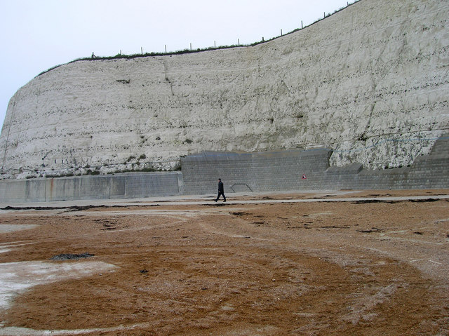
English: Undercliff Walk, Rottingdean This point marks the site of a former open air pool that operated near the base of the cliff until the mid 1980s |
| Date | |
| Source | From geograph.org.uk |
| Author | Simon Carey |
| Attribution (required by the license) | Simon Carey / Undercliff Walk, Rottingdean / |
| Camera location | | View this and other nearby images on: OpenStreetMap |
|---|
_heading:292.00&language=en)
| Object location | | View this and other nearby images on: OpenStreetMap |
|---|
_heading:292.00&language=en)
Licensing

|
This image was taken from the Geograph project collection. See this photograph’s page on the Geograph website for the photographer’s contact details. The copyright on this image is owned by Simon Carey and is licensed for reuse under the Creative Commons Attribution-ShareAlike 2.0 license.
|
This file is licensed under the Creative Commons Attribution-Share Alike 2.0 Generic license.
Attribution:
Simon Carey
- You are free:
- to share – to copy, distribute and transmit the work
- to remix – to adapt the work
- Under the following conditions:
- attribution – You must give appropriate credit, provide a link to the license, and indicate if changes were made. You may do so in any reasonable manner, but not in any way that suggests the licensor endorses you or your use.
- share alike – If you remix, transform, or build upon the material, you must distribute your contributions under the same or compatible license as the original.
creator
some value
author name string: Simon Carey
object of statement has role: photographer
copyright status
copyrighted
copyright license
Creative Commons Attribution-ShareAlike 2.0 Generic
title: Undercliff Walk, Rottingdean (English)
author name string: Simon Carey
inception
25 December 2006
source of file
file available on the internet
operator: Geograph Britain and Ireland
geograph.org.uk image ID: 298484
described at URL: https://www.geograph.org.uk/photo/298484
coordinates of the point of view
50°48’6.5″N, 0°3’18.0″W
heading: 292 degree
captured with
Nikon Coolpix 4600
coordinates of depicted place
50°48’6.5″N, 0°3’18.0″W
heading: 292 degree