Size of this preview: 640 × 424 pixels. Other resolution: 320 × 212 pixels.
Original file (640 × 424 pixels, file size: 88 KB, MIME type: image/jpeg)
Summary
| Description |
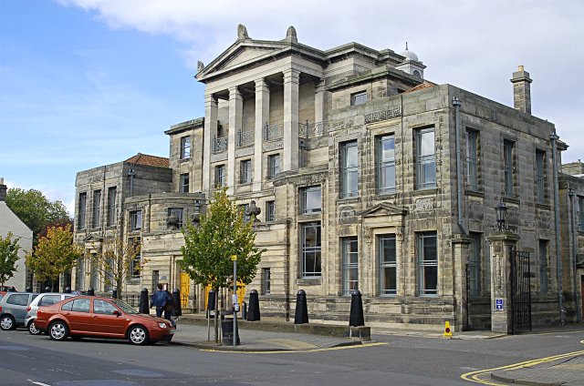
English: University buildings University buildings towards the eastern end of North Street. |
| Date | |
| Source | From geograph.org.uk |
| Author | Jim Bain |
| Attribution (required by the license) | Jim Bain / University buildings / |
| Camera location | | View this and other nearby images on: OpenStreetMap |
|---|
_heading:315.00&language=en)
| Object location | | View this and other nearby images on: OpenStreetMap |
|---|
_heading:315.00&language=en)
Licensing

|
This image was taken from the Geograph project collection. See this photograph’s page on the Geograph website for the photographer’s contact details. The copyright on this image is owned by Jim Bain and is licensed for reuse under the Creative Commons Attribution-ShareAlike 2.0 license.
|
This file is licensed under the Creative Commons Attribution-Share Alike 2.0 Generic license.
Attribution:
Jim Bain
- You are free:
- to share – to copy, distribute and transmit the work
- to remix – to adapt the work
- Under the following conditions:
- attribution – You must give appropriate credit, provide a link to the license, and indicate if changes were made. You may do so in any reasonable manner, but not in any way that suggests the licensor endorses you or your use.
- share alike – If you remix, transform, or build upon the material, you must distribute your contributions under the same or compatible license as the original.
creator
some value
author name string: Jim Bain
object of statement has role: photographer
copyright status
copyrighted
copyright license
Creative Commons Attribution-ShareAlike 2.0 Generic
title: University buildings (English)
author name string: Jim Bain
source of file
file available on the internet
geograph.org.uk image ID: 586036
operator: Geograph Britain and Ireland
described at URL: https://www.geograph.org.uk/photo/586036
inception
13 October 2007
coordinates of the point of view
56°20’25.62″N, 2°47’26.52″W
heading: 315 degree
location of creation
St Andrews
coordinates of depicted place
56°20’27.20″N, 2°47’31.56″W
heading: 315 degree